"…that this was pleasingly beautiful, while the other was sublimely grand" -Meriwether Lewis, June 14, 1805
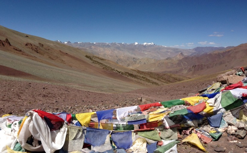
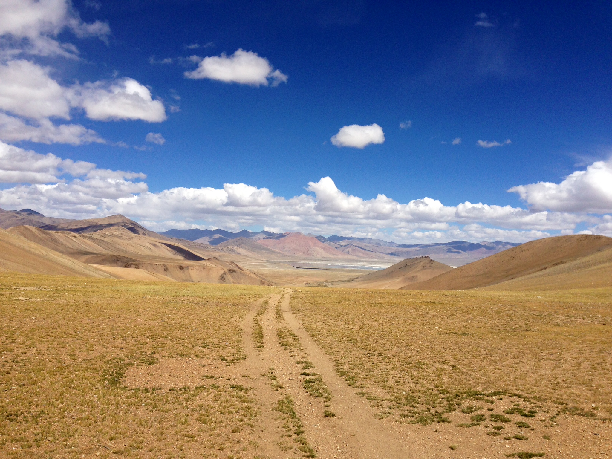
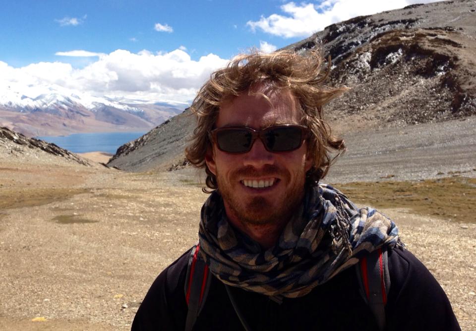
Trekking from Rumtse to Tso Moriri along the arid Zanskar Range
I met a Dutch man in Leh who’s eyes lit up when he learned I was going on the Rumstre to Tso Moriri trek in a few days. Pulling brightly worded examples from his dutch language trekking guide that included elevation charts and descriptions, he’d clearly have come along but for 6 passes more than 17,000 feet high. Recovery would be limited over the eight days, the lowest elevations more than 14,000 feet. He was worried he’d die out there. But what a place to die, he offered. I suggested that he ride a pony. He demurred. We shared a good laugh that I should be on the watch
for a particular duck and a particular goose as well as the yaks and nomads. I asked the outfitter about a pony the next day; Of course, he can ride the pony up the passes. But he opted not to anyway.
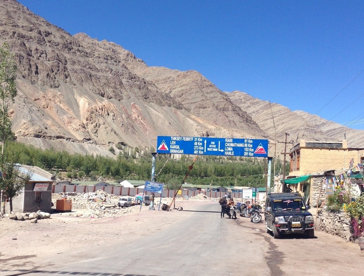
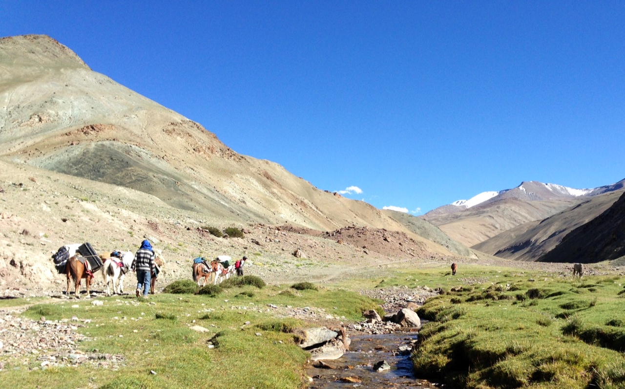
Day 1: Rumtse->Kyamar 4-5 hours. After clearing passport checks at Upshi, we reach Rumtse after a long, kerosene addled ride with the windows helplessly down.
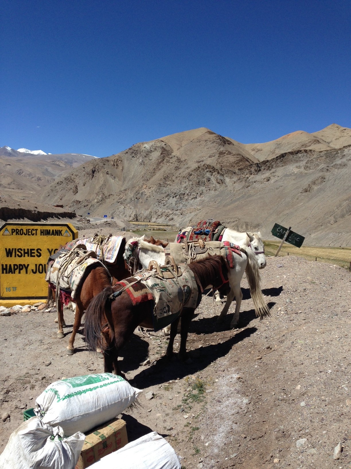
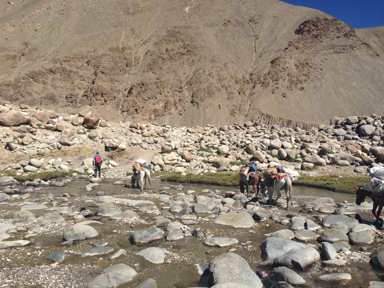
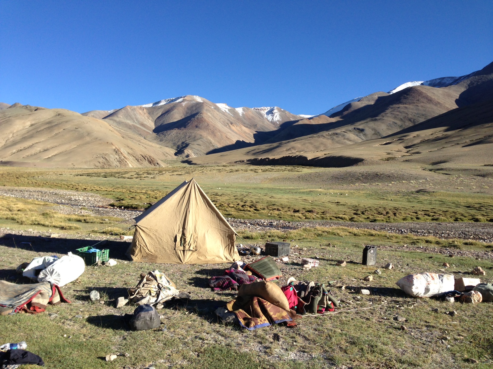
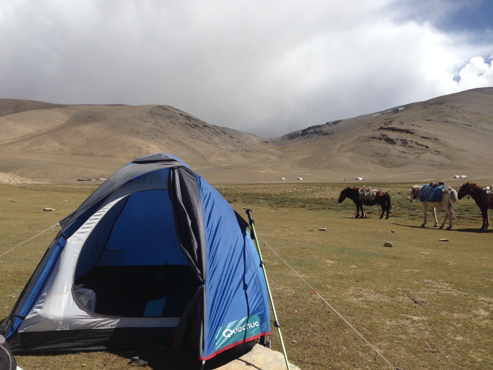
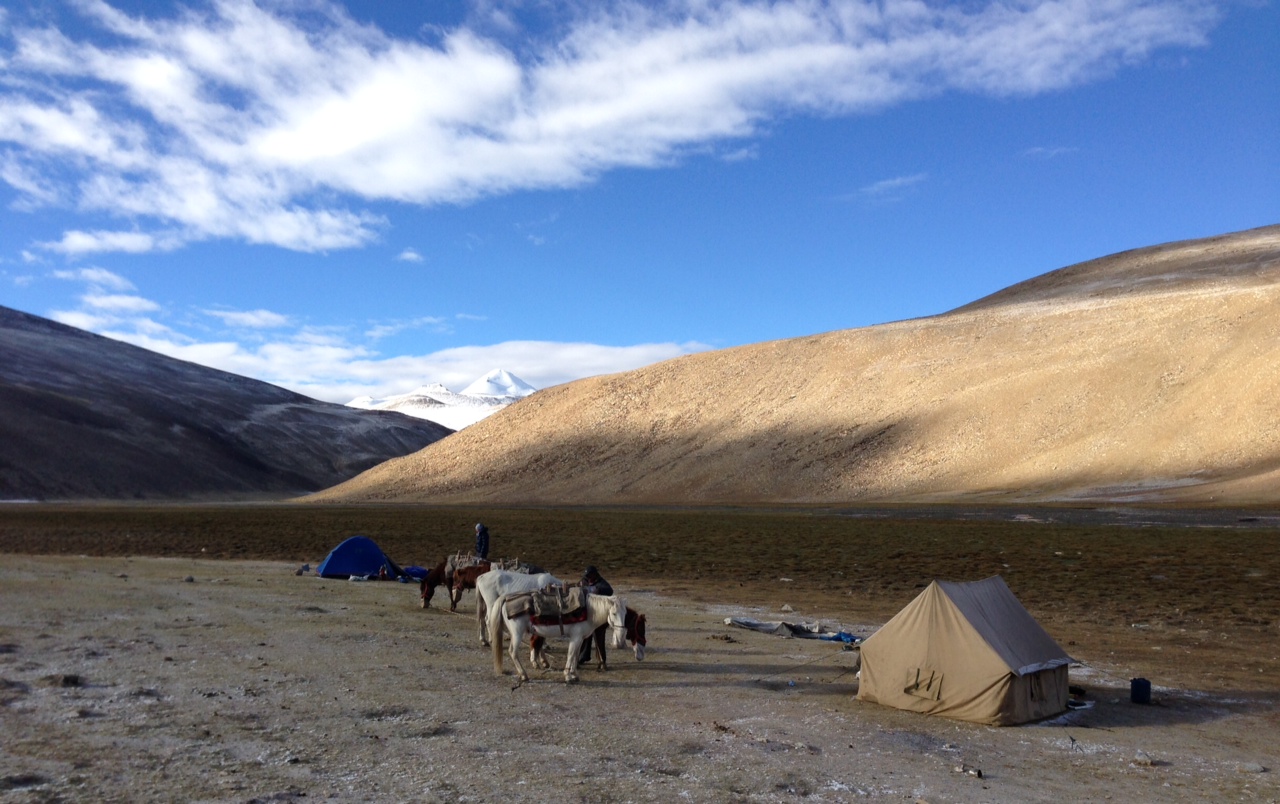
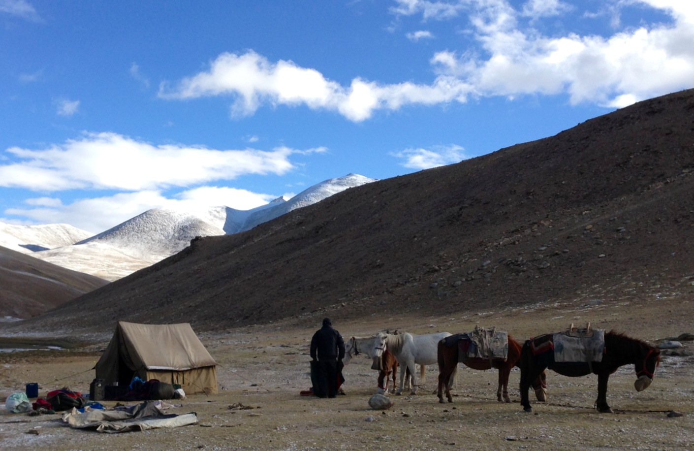
Clearing a passport check in Upshi, looking back north towards Leh, posted “49km”Pony man shows up and unloads horses from a trailer, meeting the driver, the young camp cook Numgail and I along the Leh Manali road in Rumtse, and sending the driver away now, the three of us set off.Setting off with the pony man and Numgail, we cross a glacier melt stream flowing down from Taglang laA large black cooking trunk rattles on the side of the last horse.Cooks tent, first night. The pony man and Numgale unload pack horses, and Numgail goes into service mode with cooking after setting up tents with the pony man’s help. The pony man then sets off to simply follow the horses as they seek grazing, or dust, rolling on the ground. A lead horse can be tethered and the others will remain. But the pony man will stay out all night with the horses, sleeping on the ground and again have them rounded up early morning, a 1-2 km chore if they’ve happen to stray off.
Day 2: Kyamar -> Tzaling 6-7 hours, camping at 4,800 meters. First pass, Kumur La (5150) then giving up elevation down to 4,900 before second pass, Mandalchan La (5250) before making high altitude camp less than 500 meters lower.
The first pass of the trek on day two, Kumur La (5150).Mandalchan La (5250). The weather changes quickly from pass to pass, though still considered reasonably predictable.
Day 3: Tzaling -> Pangunagu/Tsokar 4.5-5.5 hours, first climbing then descending Shinbuk La (5300) for Tso Kar, a high altitude lake at 4500 meters and home to barred geese.
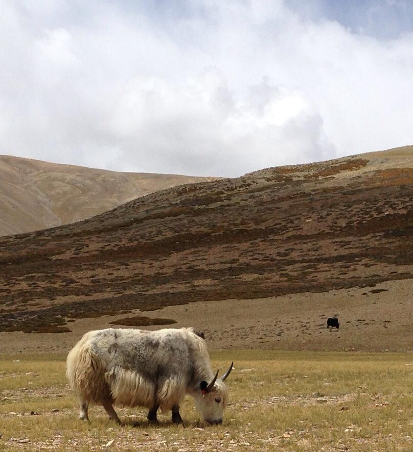
A nomad’s yak grazing in a grassy valley a day near Tso Kar. Ribbon’s laced through ear identifies the owner of the herd. Wasn’t sure how close to get, no trees or any place to retreat if they turned out to be surly.Tso Kar coming into view, descending Shinbuk La (5300) on narrow loose trail.Tsokar. Descended from Shinbuk La (5300) to Tso Kar (4500) to cross a paved road and find a parachute cafe near the lake. Amazingly, I buy two beers from the workers there. The english girl Wendy and I stay in our own small tent nearby, though the place has dozens of fancy canvas cabin rooms for hire for something crazy like 4000 IR. Cold.
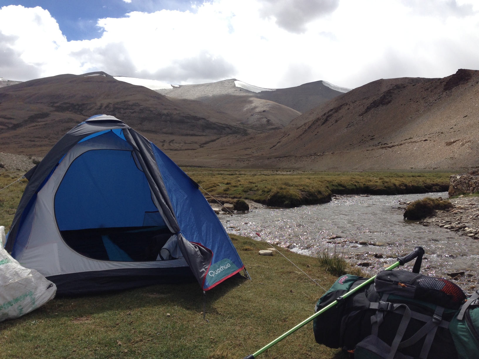
Day 4: Tsokar/Panguago -> Nuru-chan +-4 hours. A long flat walk around Tso Kar while the lake never seems to fall from a backward glance until the last of the day. Camp along a river in lush green grass.
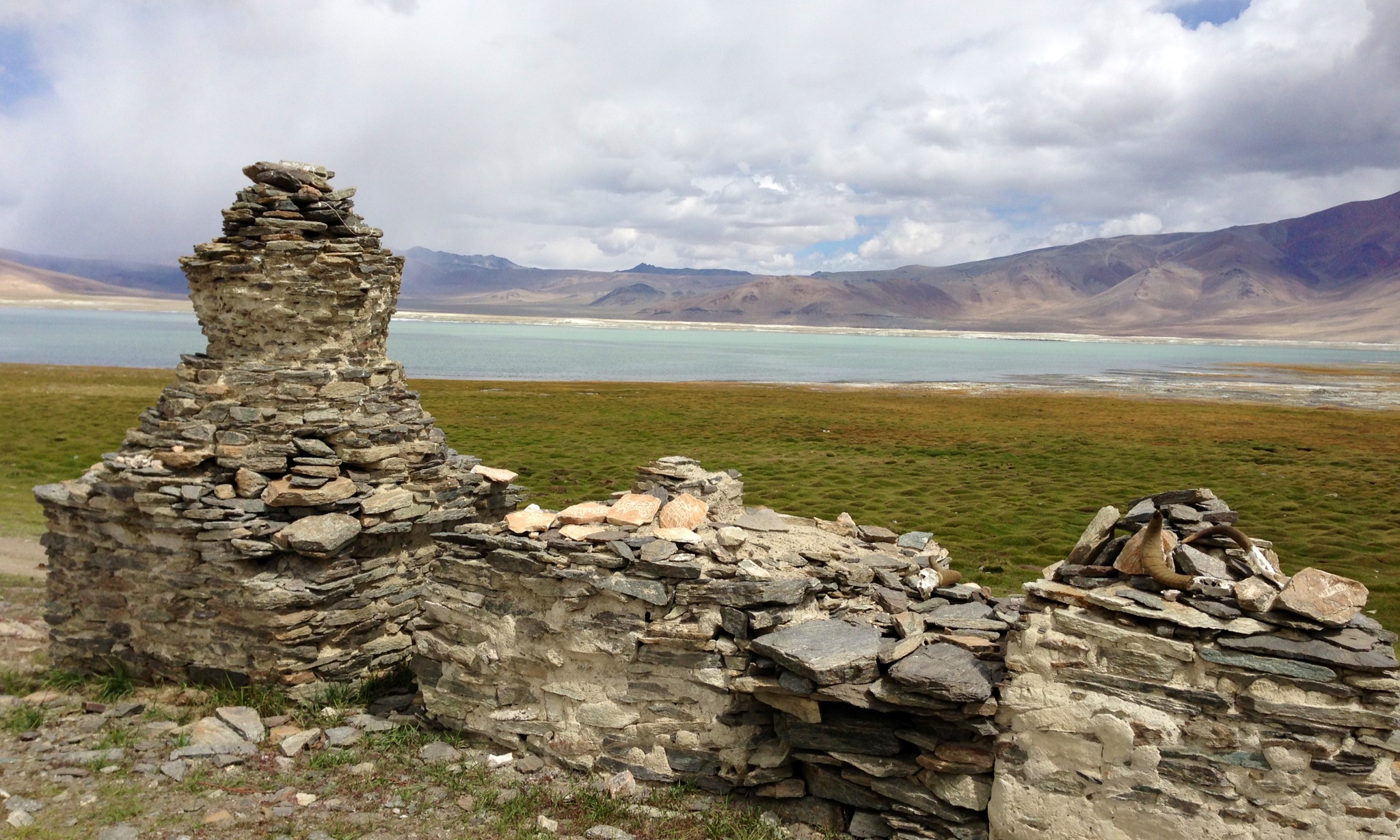
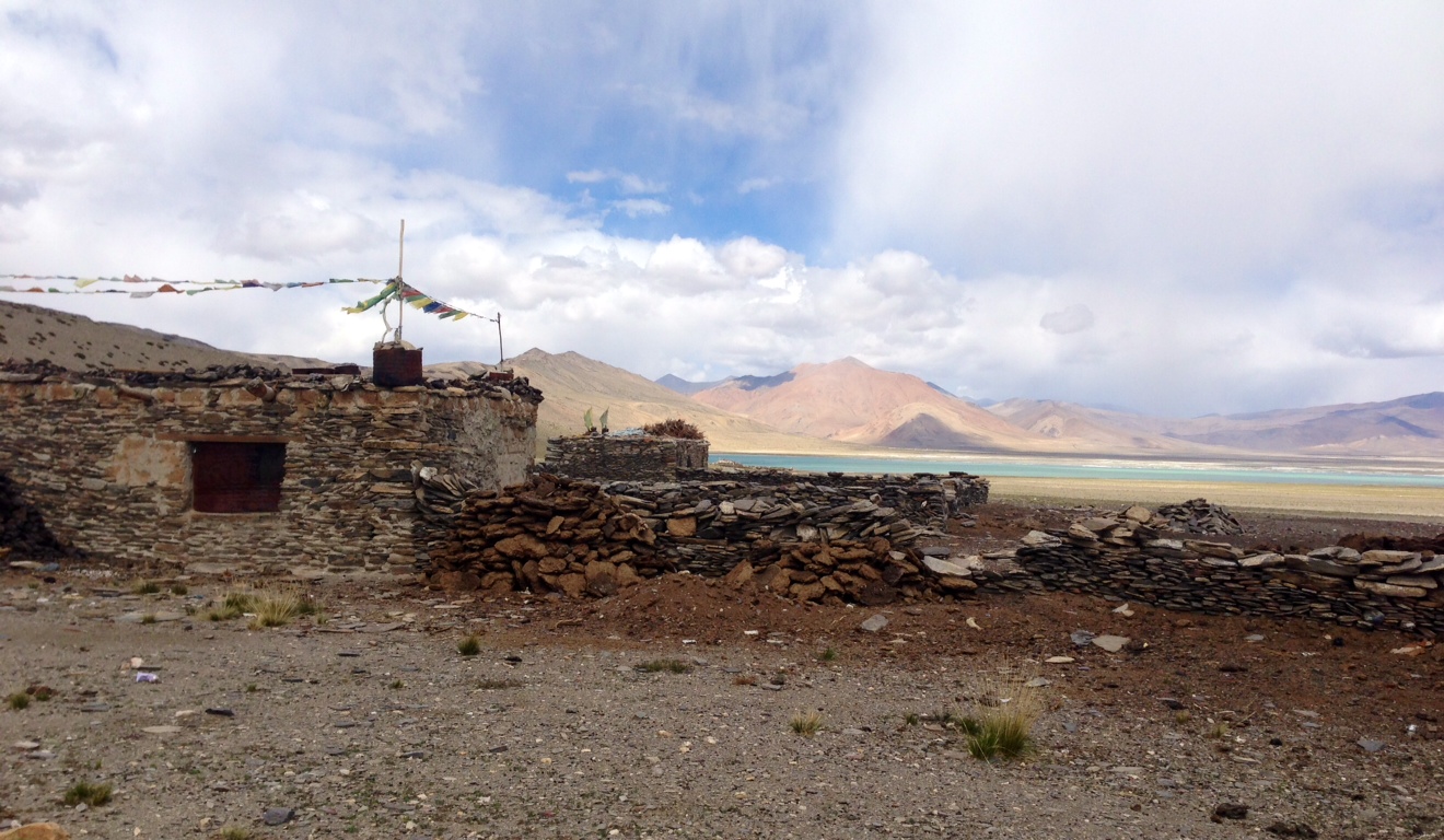
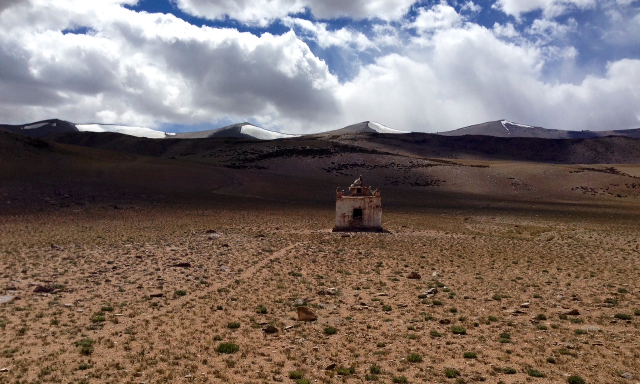
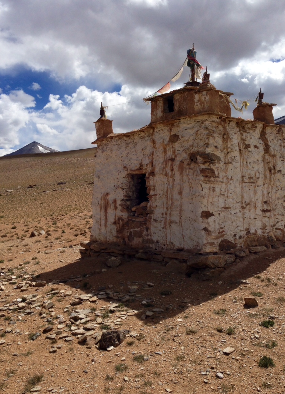
Stupas on the south shore of Tso Kar. It feels like the lake stretched on forever, flanking its shore and continuing on the next day.Nomads seasonal home at Tso Kar with dry yak dung staked along its stone walls.Small stupa along a hillside near Tso Kar.
Small stupa along the hillside south of Tso Kar.Camping along a creek a few hours walk south of TsoKar.After a day of gradually climbing away from the lake, Tso Kar can still be seen in the background.
Day 5: Nuru-chan -> Rachung Karu 3-4 hours. Another flat day to Rachung Karu, a nomad seasonal home with several round earth dug yurts, the smoke of burning yak dung billowing from a center pipe. I accept some dried yak cheese offered from the pockets of two curious women, and share a eucalyptus cough drop in return.
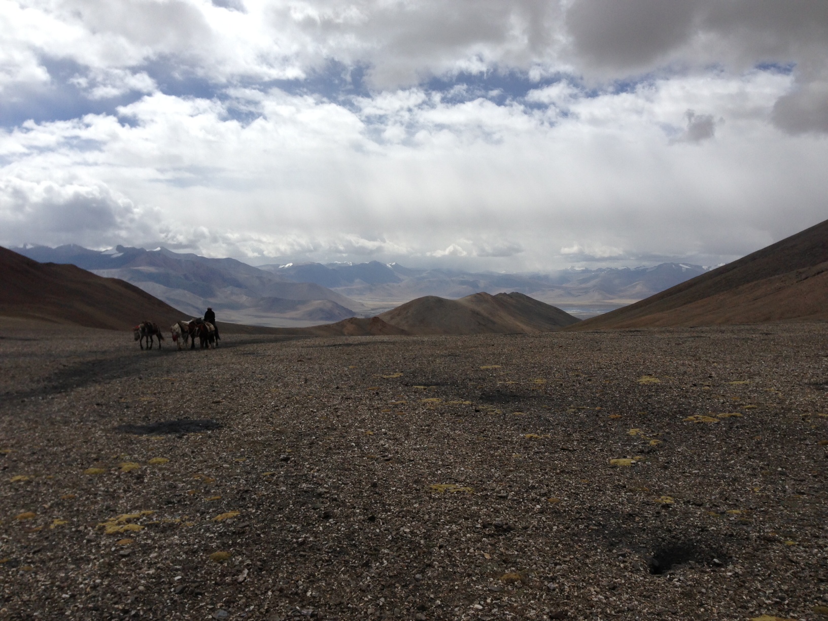
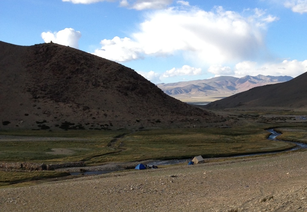
Finally, cresting a hill that will leave TsoKar out of sight, this picture looking back. In a moment, I’ll meet two Australians trekking North to Rumtse from Kaza in the Spiti Valley (I’ll pass through there later) adding an additional 8 days. Here, they are past their halfway mark, and they look forward to the beers near TsoKar that I mention. Interestingly enough, they had left out of Shimla on the Hindustan Tibetan Highway counterclockwise, only to find landslides had made the road impassible near Puh, if I recall correctly. They backtracked completely to Shimla then traveling clockwise from Mandi and Manali for Losar, onto Kaza.
Sharing the valley with nomads, their goats and smokey yurts for the night.
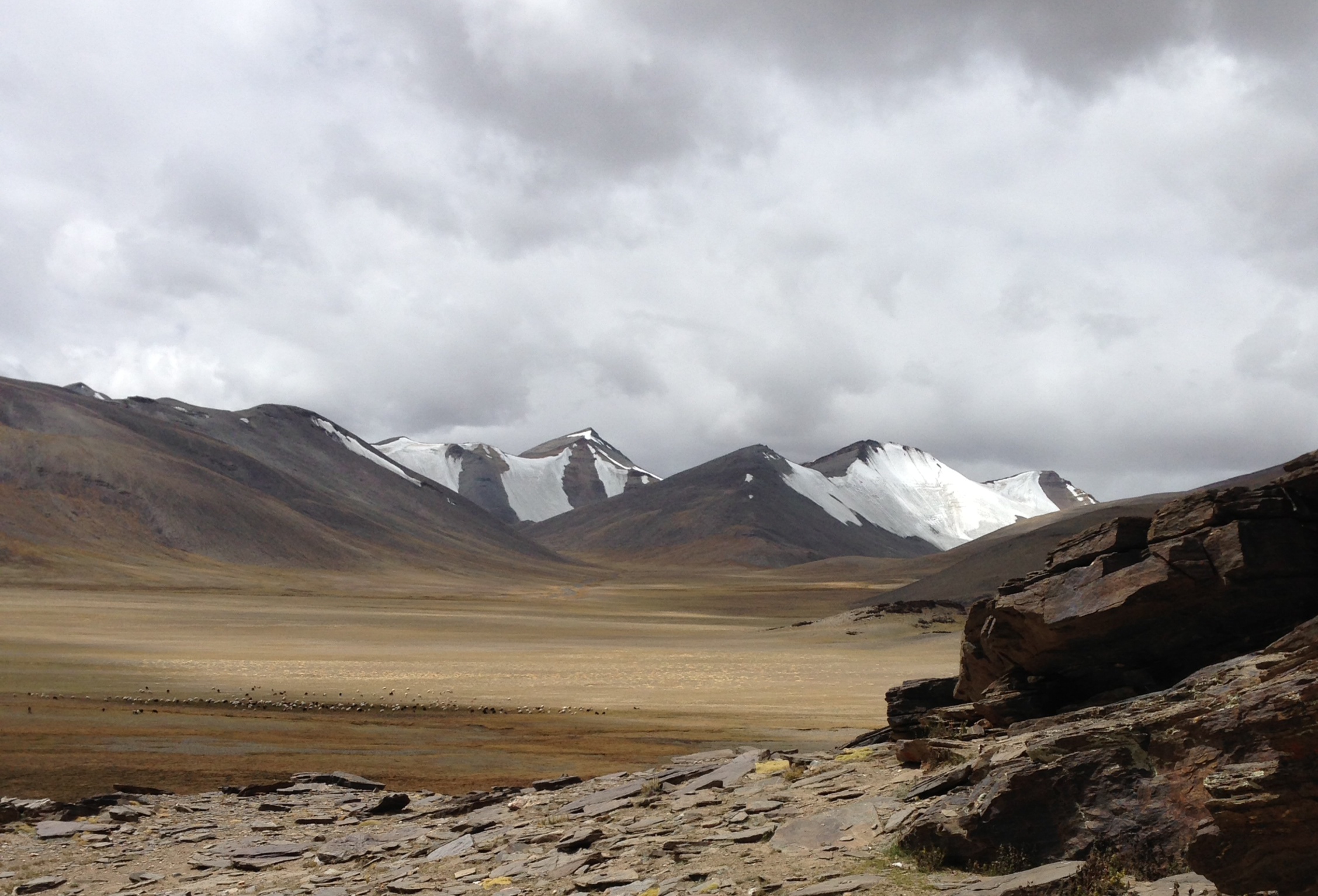
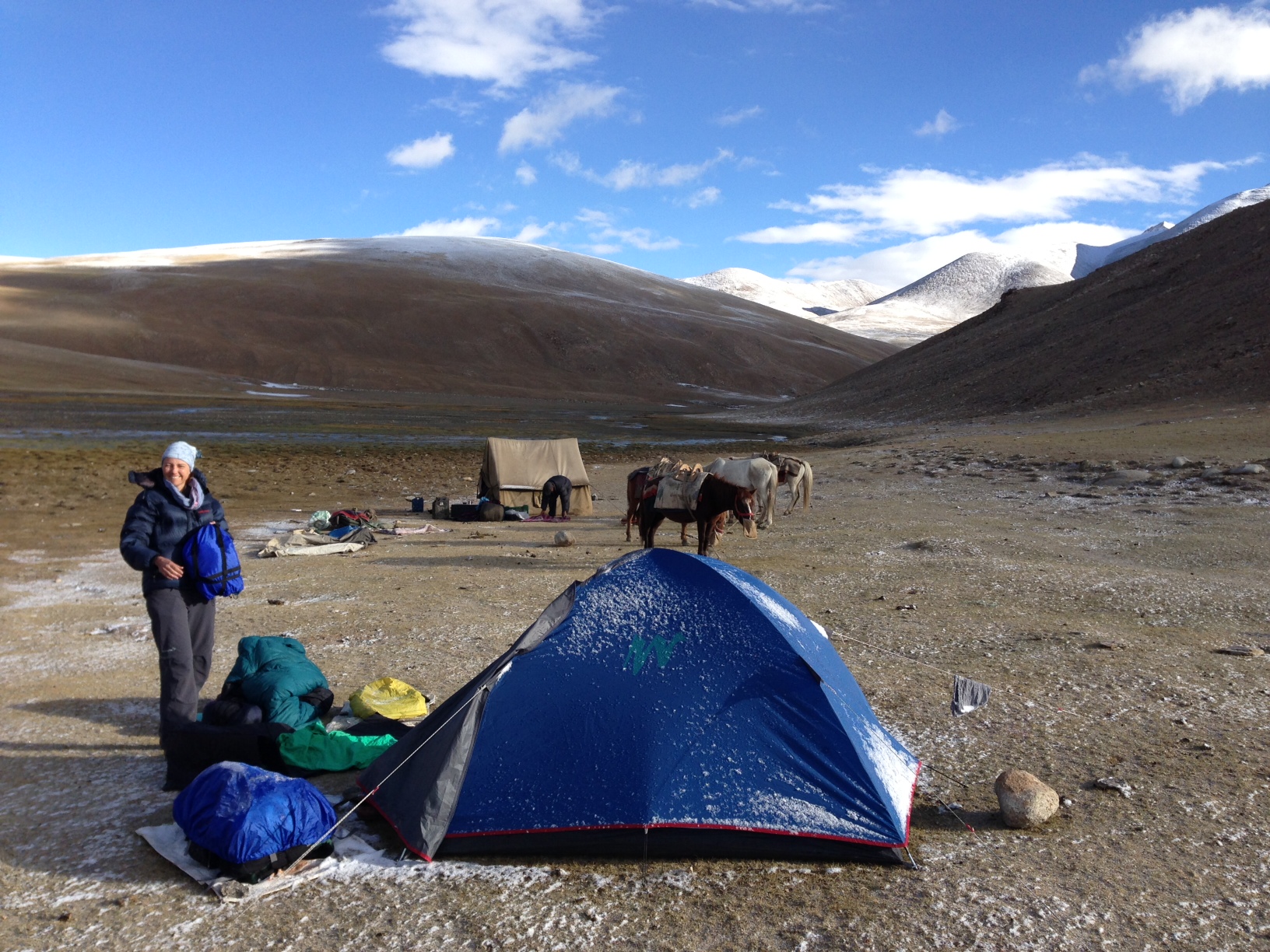
Day 6: Rachung Karu -> Gyama Barma (or Gyama Loma) 5-6 hours. Kyamayuri La (5425) and Kostse La (5400), descending only to 5150 to make camp. Snowy ice falls around dinner time just as we were playing, stomping through and across a wide boggy stream. Very cold for a three season tent, we slept in much of our clothes (Bags may have lost some utility in storage, or older down, or simply not rated for such a late season trek.
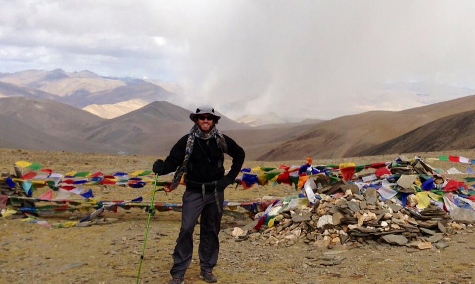
Atop Kyamayuri La with crazy skies approaching after steep climb out of the nomads’ valley at Rachungkaru. Watching shepards leading their flock over the passes in half the time it took us was impressive, and only a days work for them.A glacier.Kostse La (5400), if I remember correctly.Camping very high.
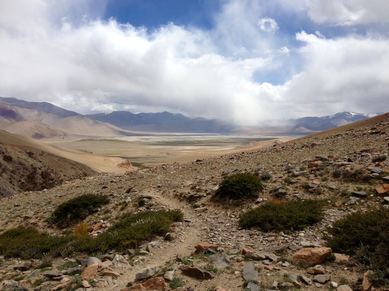
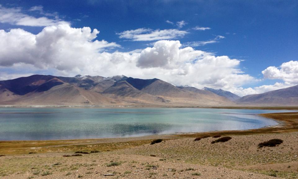
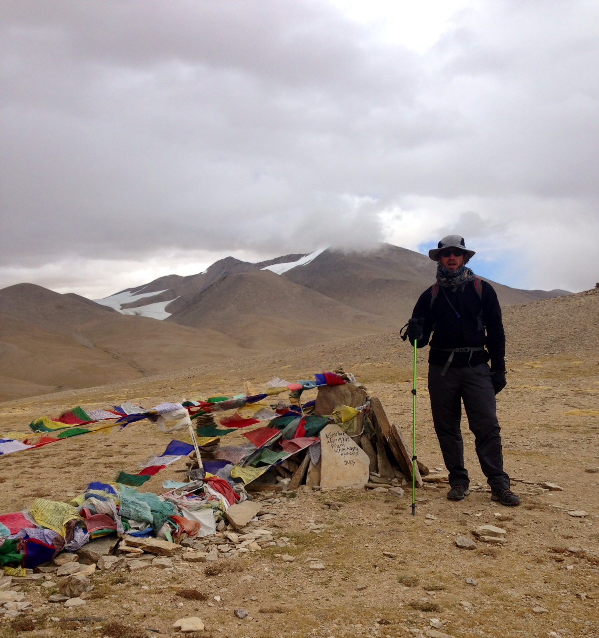
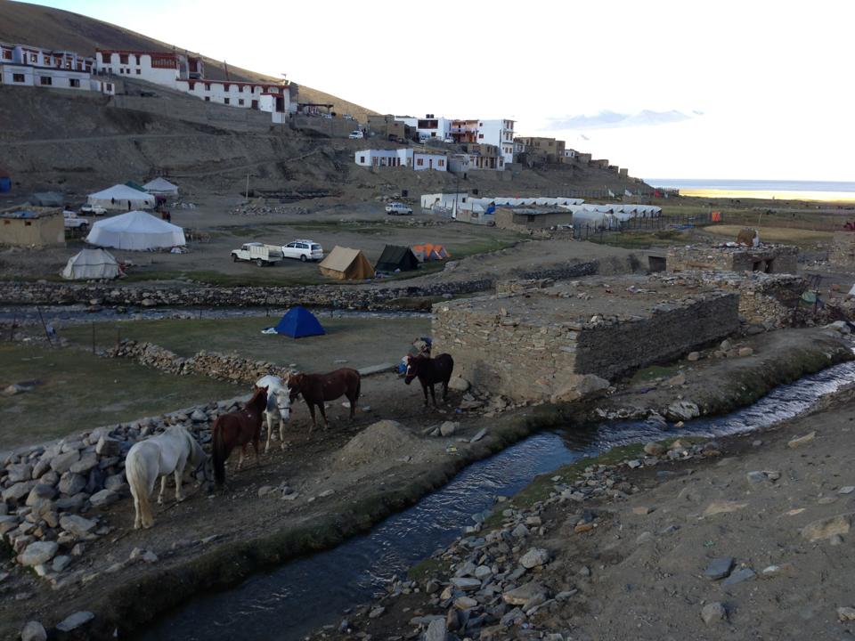
Day 7: Gyama Barma (or Gyama Loma) -> Tsomoriri 5-6 hours. Brilliant view of the snow capped far shore of Tso Moriri cresting Yalung Nyau La (5450). The run out to the lake is a haul!
Tso Moriri in the background at last! Will take a full day yet to reach its waters near a village far below.