"…that this was pleasingly beautiful, while the other was sublimely grand" -Meriwether Lewis, June 14, 1805
Leh
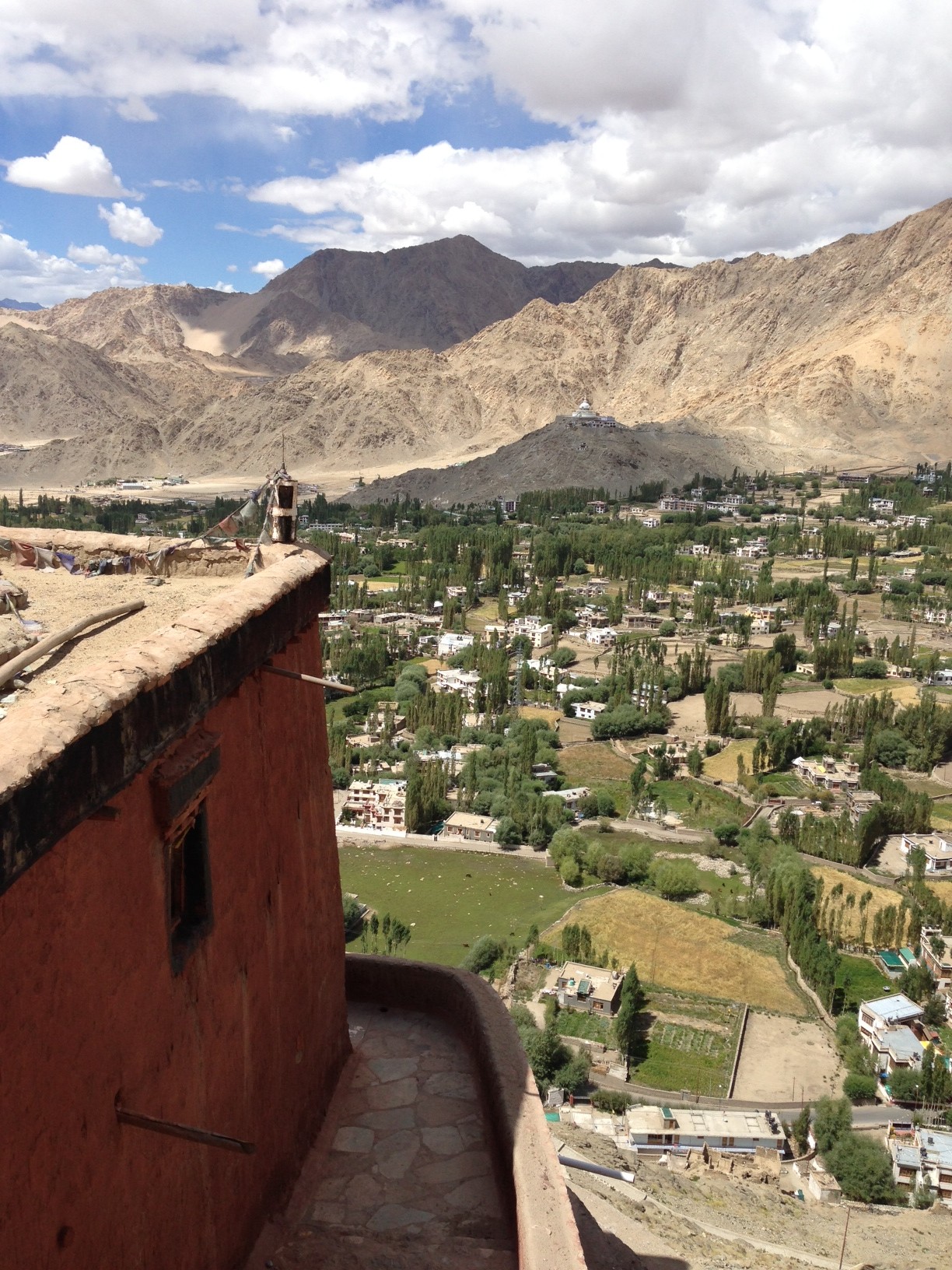
Perhaps India’s most forgiving city, Leh is both traveler friendly as well as beautiful and relaxing. With awe-inspiring vistas and views of nearby Stok, this as-easy-or-as-difficult-as-you-make-it place to reach is also close to numerous tucked-away monasteries and thus a great home base for exploring, whether by bus, motorbike or foot. Seated in the Ladakh Range, considered by some to be the foothills of the Himalayas, the town’s base elevation is nearly 11,500 feet. It is high altitude desert, and while precipitation is low, the temperatures outside of the summer to early fall season are daunting.
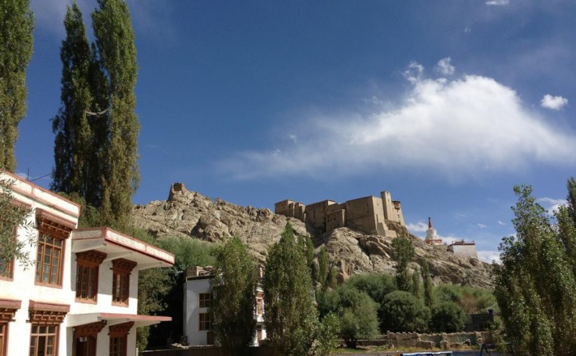
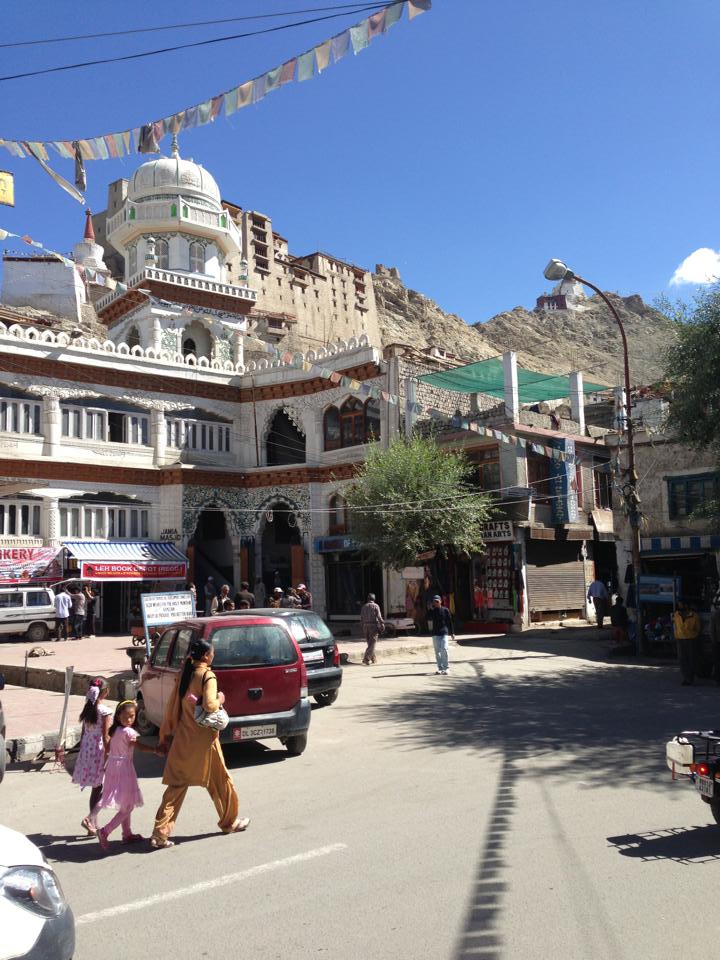
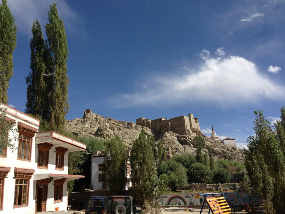
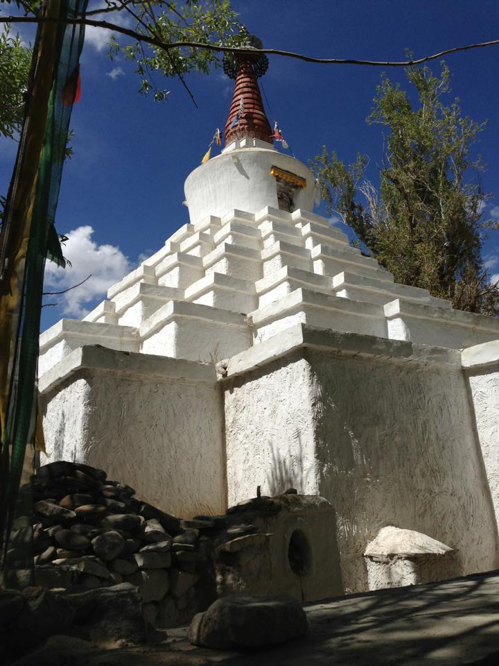
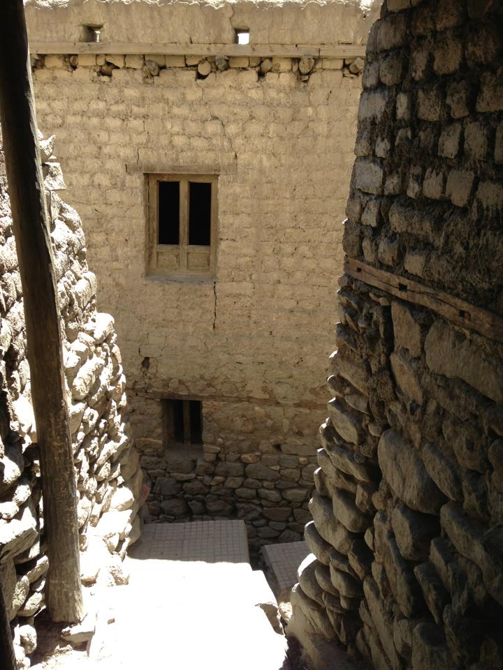
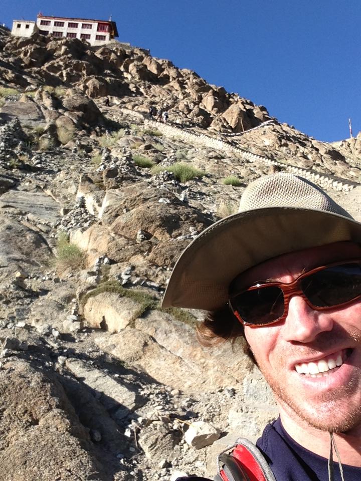
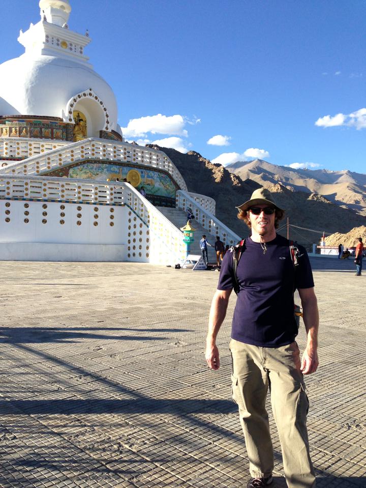
An Indian woman wearing a kurta walks her children across the busy corner of the main square in Leh in front of the mosque, with Leh Palace in the background and Tsemo Fort even further up.A view of Leh Palace over a school yard, looking east from Sankar Rd near the Leh Police Station.A stupa (likely “sankar”) found at the beautiful and shaded twisting end of Karzoo road in Leh.A narrow, built over passage way through Leh’s old city a few meters NW of the mosque.The many steps leading up to shanti stupa, several hundred feet above Leh, elevation 11,500+ ft.Shanti Stupa. Modern (1991) but gorgeous views; a rewarding walk in its own right, you also miss throngs of parking coaches that motor up. Steps begin at west end of Changspa road where Shanti Rd is met.
View of the green side of Leh valley, looking west from Fort Temso. A plane tilting up towards Kargung La, Chubi and ?, the vegetation follows the channeled streams of Leh back toward their source.